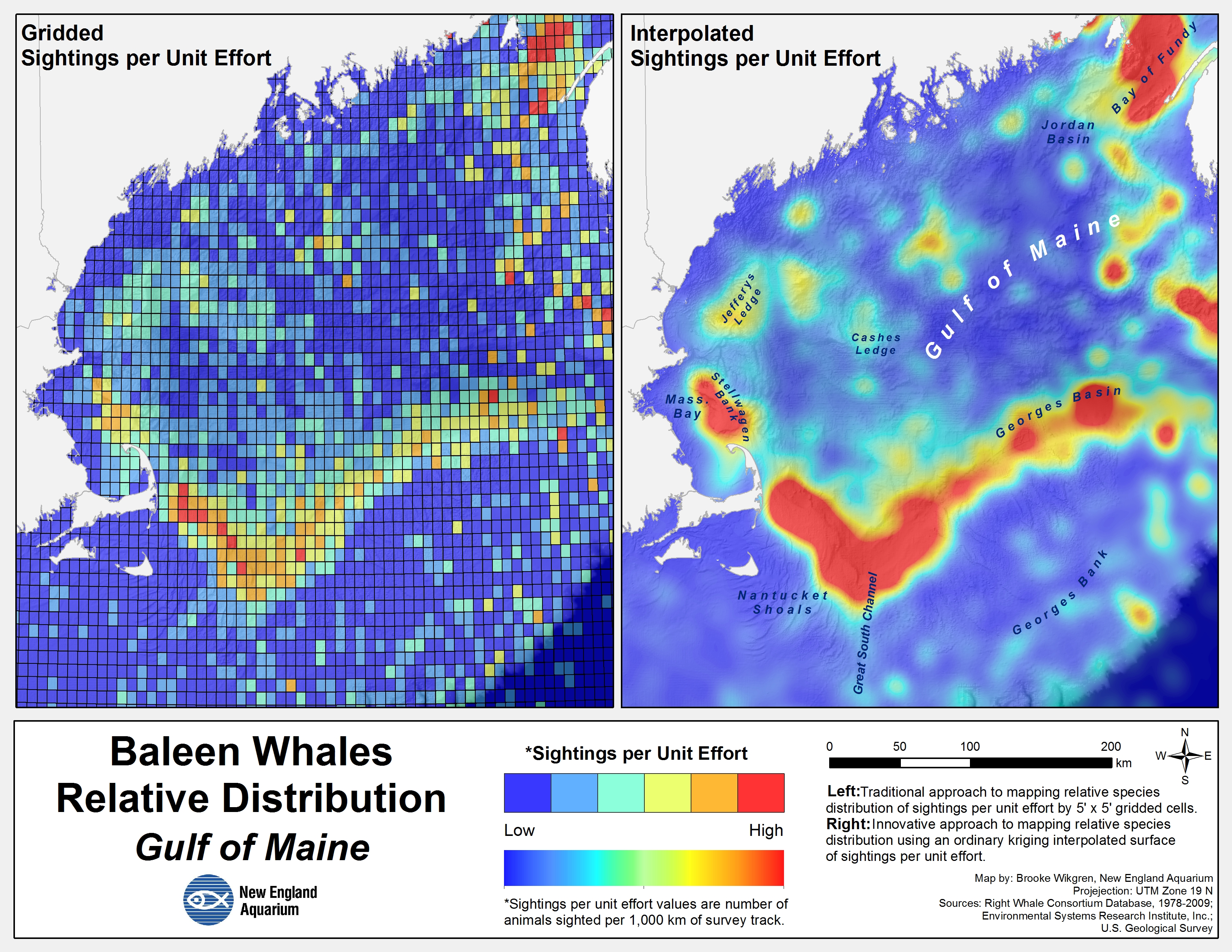
Geographic Information Systems (GIS) are technologies, mostly maps, used to display geographical data.
Companies across the world use GIS for all kinds of purposes, but my career involves their application in the conservation of resources and wildlife.
By using GIS, we can map the distribution and movement of certain species, determine areas of environmental concern, and recognize patterns that allow us to draw conclusions and work to conserve the living world.