Best Hikes in the Bay Area
For those of you who like to spend your free time taking on adventurous and strenuous challenges, the Bay Area has plenty of hikes for you to try out.
San Antonio Rancho
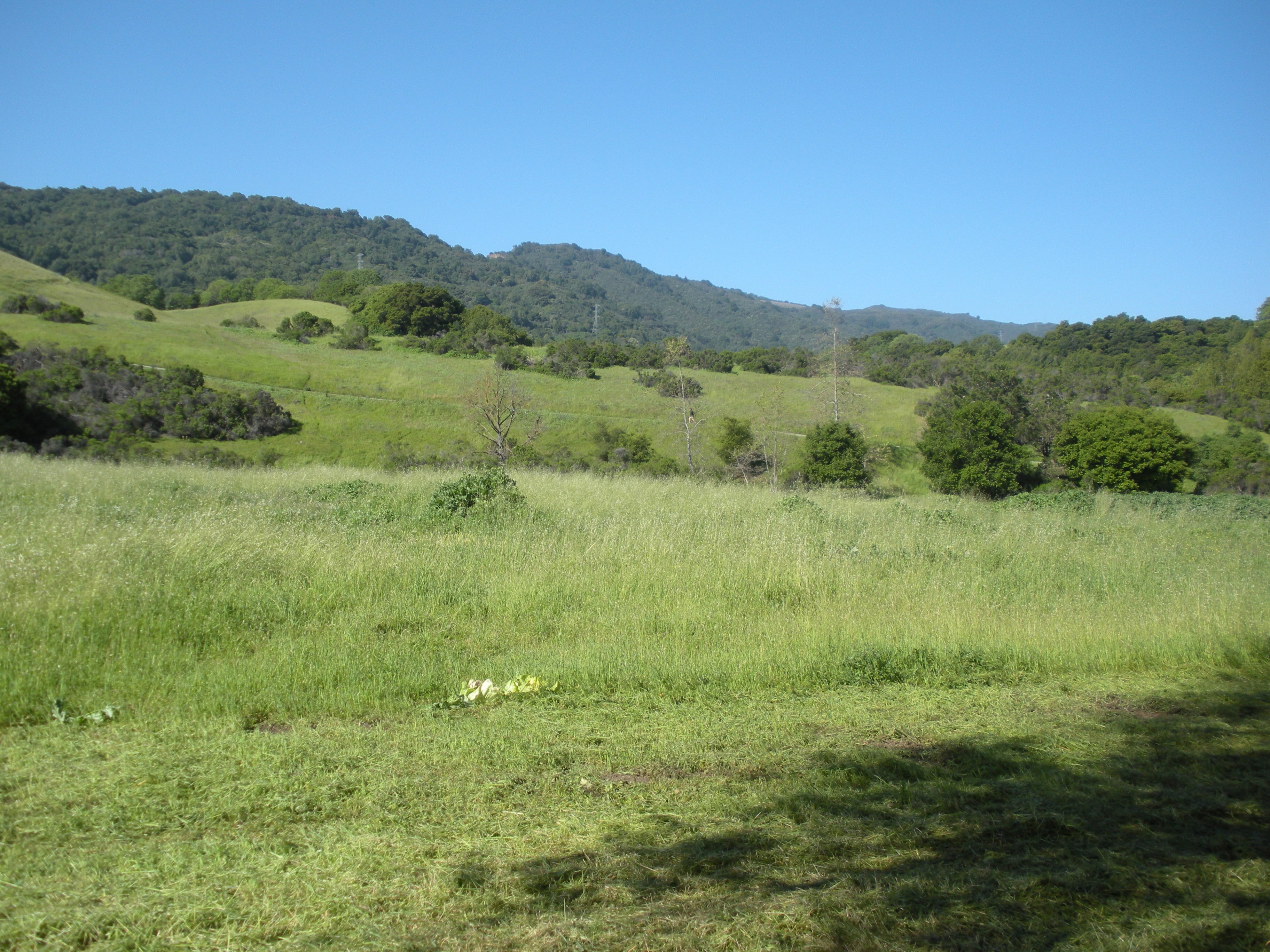 San Antonio Rancho County Park has numerous hiking trails all over the park and mountain. These trails can range from about 3 miles to 15 miles depending on the one you choose. The most popular vista point on this hike is the Wild Cat Loop vista where hikers can see across the valley. This area has numerous trees and shade, making it perfect for hiking during the high temperatures of the summer. San Antonio Rancho's variety of trails make it the perfect place to spend your day in nature with friends and family. Many animals can be seen on these trails such as deer and cows.
Coyote Peak
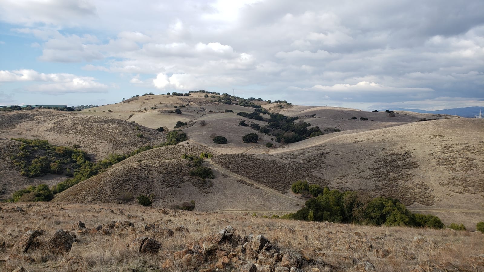 Located in Santa Theresa County Park region, the Coyote Peak trail has around a medium complexity. Driving into the area, you will see many different trails that eventually meet at the summit, or peak. The loop trail from the parking lot around the mountain is about 3.8 miles long and reaches an elevation of about 1,100 feet. The trails have been created on the Santa Theresa hills, so be prepared for changes in elevation throughout the hike. The peak of the mountain is a great vista point to take pictures. Like the other hikes, visitors can see the entire Silicon Valley, and on a clear and sunny day, viewers can see all the way to San Francisco.
Photo by author
Mission Peak
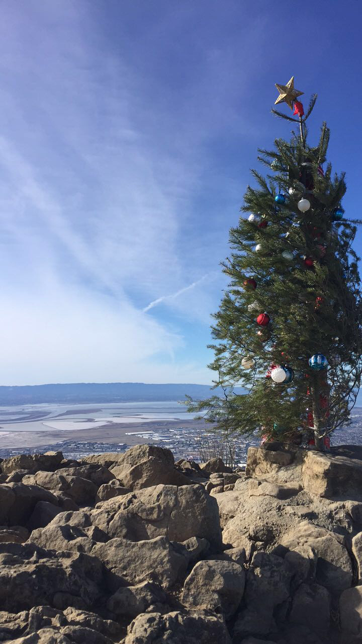 Last but definitely not the least is the Mission Peak Hike. For those of you who enjoy steep challenging hikes, this one is for you. Located in the Mission San Jose District, this hike is not for the faint hearted. The entire hike, round trip, is about 7 miles long reaching an elevation of about 2,000 feet. There are numerous trails meeting at the summit, and each one of them have barely any shade. Near the peak the texture of the trials start to change as does the weather. Hikers are greeted with strong winds and an even steeper and rockier trail to climb. From the top of the mountain, hikers can see across the entire bay, and on a clear day, you can see across the bay, into the Palo Alto and Stanford areas. Be prepared to spend a couple hours on this rigorous hike and enjoy the views.
Photo by author
If you want to find more hiking trails in the Bay Area, click here for more information.